Software Tools

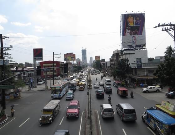
ITP has been at the forefront of using and developing software tools to complement our transport planning and research projects - the majority of which are open source.

They enable us to work efficiently by reducing the overheads typically associated with specialised tools for data collection, analysis and visualisation. They also help us to collaborate with transport technologists around the world.

City

Working closely with our sister company Conveyal, ITP has played a key role in the development and application of innovate transport data tools. We are regular contributions to OpenStreetMap and associated third party applications.

We develop and apply a number of proprietary tools that expand the capability of the open source tools listed above.  These enable us to process and visualise transport supply and demand data at finer levels of detail for our clients.  

GTFS Editor

We helped create this web-based tool for editing and maintaining public transport schedules using the GTFS specification originally developed by Google and maintained by an international group of transport technologists. We now routinely use GTFS Editor when working on international transport planning projects, and those which require transport accessibility maps as an output.

Gtfs Editor
Transit Wand

TransitWand

Mobile/tablet app for collecting GPS route and stop data, including passenger boarding and alighting data, which can be used in GTFS Editor, and for other analyses. We regularly train university students and data collection partners in how to use TransitWand as a tool for recording the make-up of public transport networks in unmapped cities.

Transport Analyst

Web-based travel time accessibility tools that use distributed cloud computing technology to significantly reduce time and effort needed to model connectivity by road and public transport travel modes from single or multiple origins/destinations. This is often brought to bear on transport strategy and planning projects where decision makers want to be able to see the potential impact of different transport investment options they are considering.

Transport Analyst
O-D Capture

O-D Capture

Tablet app for collecting precise Origin-Destination survey data with members of the public in-street/at-stop/on-board public transport services. This accelerates post data collection processing and improves the accuracy of O-D surveys that inform different transport modelling activities.

Collideoscope

Free public cycle incident and near-miss reporting tool that ITP created in partnership with mySociety, to as to establish an open data set for local authorities and researchers to use when exploring cycling incidents in the UK. The data collected by the site is released openly for researchers to use, and supplements the UK's Stats19 road safety incident dataset.

Collideoscope